



Guide
First Adult Tricycle Buying Guide
Choose your first adult tricycle by checking rider fit, storage, weight limits, gears, brakes, assembly, and service before buying.
We research everything we recommend. When you buy through our links, we may earn a commission. Learn more
Guide
Read trike route profiles through elevation, ascent, percentage grade, local steepness, data limits, surfaces, vehicle guidance and practical exits.

Updated · 12 min read
A route profile can help identify climbing and descending questions, but it is not a certificate that an adult tricycle or rider can complete the trip. Total ascent, average gradient, local steepness, surface, stops, access and return direction describe different parts of the route. Read them together and verify essential uncertainties before departure.
This guide explains the arithmetic and planning process rather than prescribing a maximum grade for every trike. Use the exact vehicle's intended-use guidance, current route information and suitable instruction. The gears and hill guide addresses related operation; here the focus is interpreting the route data that informs that decision.
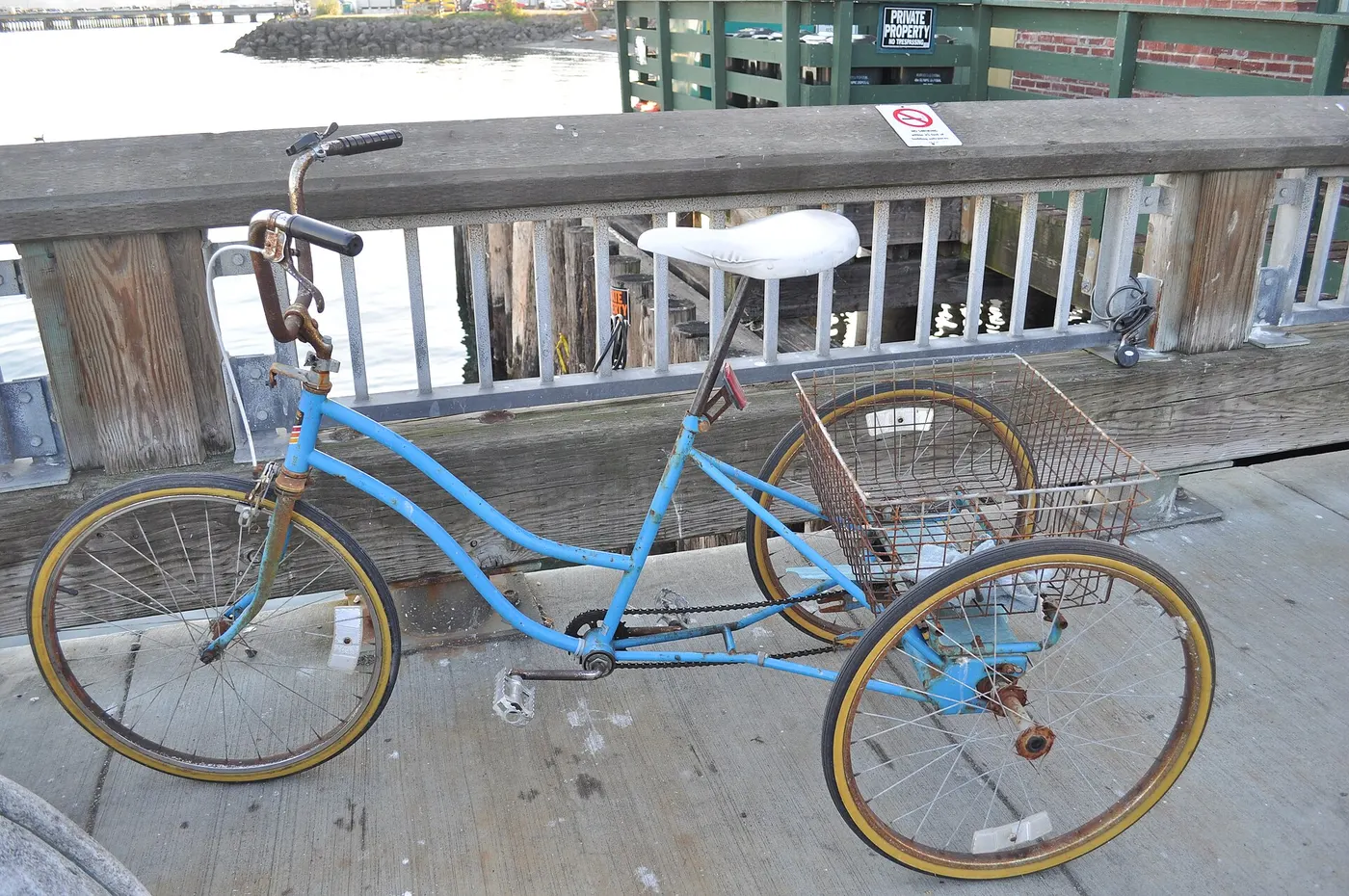
Elevation describes height relative to the datum used by the source. Elevation gain sums upward changes along the selected route under that source's method. A high starting point does not automatically mean a large climb, and a route ending near its start can still include substantial ascent and descent.
Read the route's definition and measurement method where available. Different planners or recordings can process data differently. Do not assume a disagreement proves one device faulty without examining sources and definitions. The cycle-computer guide explains another measurement system with its own setup questions.
Keep the actual route line identified. A changed path, reroute or direction can alter the relevant profile. A saved screenshot without the route version or distance may be difficult to interpret later. Record enough context to connect the numbers to the trip you intend to take.
Percentage grade describes vertical rise divided by horizontal run, multiplied by one hundred. As an arithmetic example, a rise of 75 metres over a horizontal run of 1,000 metres gives 7.5 percent. This is not a recommended gradient for a trike. It simply explains the notation commonly used in route discussions.
Horizontal run and sloping path length are not exactly the same measurement. A planner can use its own data and calculation method, so read the source rather than assuming every displayed value comes from the same calculation. For ordinary planning, understanding the definition helps you ask the right question without pretending to have surveyed the route.
Do not confuse a percentage with an angle in degrees. They are different ways of describing slope. A label of ten percent does not mean ten degrees. This guide does not require converting every profile into another unit; it recommends keeping the source's definition clear before comparing numbers or discussing a route with a dealer.
An average across a climb can conceal short steeper or flatter parts. A route gaining 100 metres over a defined distance does not establish the grade at every point. A total-ascent number provides even less local detail. Do not use the easiest-looking summary to approve a difficult restart or narrow descent within the trip.
Look for segment information and the source's limitations. If an essential section remains unclear, obtain appropriate local or operator information or choose a suitable alternative. A colorful profile is useful for identifying questions, not for filling gaps with a confident maximum-grade claim.
Record the location of the uncertain segment, its direction and the practical task. Starting from a stop on a slope, climbing continuously and descending through a turn can be different questions. The vehicle's operating and route restrictions need to address the actual use, not only the average number.

cycle.travel's help explains that its profile uses elevation data on a grid, illustrating a broader limitation of route data. A grid-based source may not represent every short feature exactly. This is a reason to preserve uncertainty about small local changes, not a claim that the entire planner is unusable.
Read current source documentation and avoid inventing a universal error margin. The actual dataset, route and processing matter. A plotted bridge, underpass or short rise can need verification through appropriate information. A route line drawn through a feature does not establish its physical gradient, access or trike clearance.
If two sources disagree, compare route line, direction, definitions and data context before choosing the more reassuring number. An average of incompatible summaries is not a surveyed result. Use the disagreement to identify which section needs better information rather than treating arithmetic averaging as approval.
An outbound climb can become a return descent, while an easy initial drop can leave a demanding climb later. Read the whole planned direction and any alternate return. Do not form the trip decision from the first favorable section or assume an out-and-back summary describes both directions equally.
Include stopping, braking, turns and practical exit opportunities. A downhill segment is not automatically easy because propulsion effort is lower. The brake guide and exact manual govern operation. This article does not teach a universal descent technique or certify heat capability.
If assistance is fitted, preserve the energy and operating plan for the whole trip. The range guide explains why a display estimate is not a guarantee. More battery capacity does not resolve a route where control, surface or an essential access point remains unsuitable.
A gradient number does not describe traction, loose material, wet condition, surface damage or cross-slope. Those features can matter independently. The tread guide explains tire selection as a separate compatible-system decision, not a way to authorize every route.
Camber is another geometry question. A route can have a modest longitudinal climb while presenting a cross-slope or turn that needs assessment. The turning and camber guide provides context without certifying a particular section. Keep these observations distinct instead of treating one low average grade as complete suitability.
Use current route-operator information where closures or conditions can change. A planner may retain a line through a closed or damaged area. Do not bypass a restriction because the profile looks manageable. Local access and vehicle classification also require current official verification.
Provide the dealer or maker with the defined route section, load, surface and required starting task. Ask about the complete vehicle's intended use and limits. A low gearing figure or motor category alone does not certify the climb. The hub-gear guide explains why gear count and usable ratio are different information.
Do not normalize unrelated motor torque or power specifications into a guessed hill ranking. The motor-architecture guide explains the actual power path. A published capability claim needs its conditions and configuration attached before it can inform your route question.
If the maker's guidance and practical assessment do not resolve an essential section, choose another suitable plan. Do not treat a short demonstration climb as proof of every longer or differently loaded route. Keep the comparison grounded in the exact task and evidence rather than a general declaration that trikes are good on hills.

Identify suitable places to stop, review conditions and choose an alternative before an exposed or uncertain section. A narrow steep passage can remove practical options once entered. The checkpoint is a planning location, not a place to test whether more assistance or momentum makes the route manageable.
Handle navigation tasks while stationary and preserve reliable control. The phone and GPS guide explains mounting and stopped adjustments. A route recalculation can introduce a new gradient, barrier or surface question that deserves assessment before following it.
Keep a recovery arrangement appropriate to the vehicle. A conventional bicycle transport option may not accept a wide trike or its configuration. The rental guide and group-ride guide discuss support scope in different contexts. A label such as supported does not answer every exit question.
Record source and date, route line, direction, distance definition, rise or gain, grade description, surface, access, stops, vehicle guidance and unresolved items. Focus on the segments that materially affect the decision rather than documenting every small variation.
| Segment question | Useful information |
|---|---|
| Data | Source, route version, direction and measurement definition |
| Slope | Average versus local information and unresolved short features |
| Condition | Surface, camber, turns, closures and current access |
| Vehicle | Exact configuration, load and maker's limits |
| Exit | Suitable stopping point, alternative and recovery |
Mark an estimate as an estimate. A planner summary, local report and surveyed figure are different evidence. The worksheet is a decision aid, not a certificate or an automatic numerical safety score. An unresolved critical feature should not disappear behind several favorable boxes.
Imagine a planner shows a moderate average climb, but the route passes a short bridge approach and a narrow turning section. Identify those locations and seek appropriate information about the actual features and access. Do not infer that the average describes each one or that a trike can follow every line available to a two-wheel bicycle.
If the necessary information or vehicle guidance remains unresolved, choose a permitted alternative or postpone. If a suitable supported plan is established, retain the exact configuration and conditions behind it. The example explains how a summary can leave local questions open without declaring any specific route unsafe.
After a suitable outing, note a section that differed from the planning information, a stop that was impractical or a route change that needs confirmation. Do not convert a subjective impression into a measured grade. Your observation can identify a useful follow-up without replacing the source's method or an appropriate assessment.
Likewise, one completed trip does not guarantee the same route in different weather, load or condition. Use the wind guide and current local information for each relevant change. Route knowledge improves the plan, but it should remain responsive to new evidence.
If an abnormal vehicle condition appeared, address it through the exact instructions and service route. Do not blame the profile or buy another component before assessment. A route-planning observation and a mechanical finding are connected context, not the same diagnosis.
An affiliate article should not recommend a trike for a percentage grade solely because its motor or gearing appears suitable on paper. Identify the actual vehicle evidence and conditions. This guide provides arithmetic and planning questions, not an original performance test or a universal threshold for seniors.
The useful routine connects understandable data, local features, current condition, vehicle guidance and an exit plan. Elevation and grade help locate the questions. The complete route and supported operating context determine whether the intended trip is appropriate.
Record endpoint elevation difference, accumulated ascent and a defined segment's gradient as distinct fields. A route can finish close to its start while containing several climbs, and an endpoint difference does not describe that repeated work. A segment average also does not identify its steepest local feature. Keeping these numbers separate prevents a reassuring summary from answering a question it was not designed to describe.
Attach the route line, direction and source method where available. If one application reports another total, examine those definitions before deciding which number is correct. A different path or processing choice can matter. Do not average incompatible results into a falsely precise survey. Use the disagreement to identify the affected uncertainty and seek appropriate information where it changes the trip decision.
Keep units explicit. Metres, feet, kilometres, miles, percentages and degrees are not interchangeable. A consistent record makes a dealer enquiry easier and prevents a converted figure from losing its definition. The arithmetic examples in this guide explain notation only; they do not establish an operating limit or certify a rider's capability.
Identify the location, intended direction, surface, load and practical task, such as restarting after a stop or descending through a turn. Give the maker or suitable provider the relevant current information without presenting a planner estimate as a surveyed maximum. A broad question about handling hills can produce a broad answer that leaves the essential local feature unresolved.
Ask what evidence or operating guidance applies to the actual vehicle configuration. A motor category, gearing count or successful demo on another slope is not a complete answer. Keep the conditions behind a claim visible and do not fill missing details with a guessed torque-to-grade calculation. If the required use is outside the maker's guidance or remains uncertain, choose a suitable alternative plan.
Preserve the response with the route version and current setup. A change in tire, gearing, load, assist system or route can affect the old enquiry. The reply should remain attached to the situation it addressed rather than becoming a universal capability statement for all adult trikes or all riders sharing a broad age category.
Find a suitable place to stop, review current conditions and choose an alternative before entering a section with limited exits. The checkpoint is not a place to test whether momentum or increased assistance makes the uncertainty disappear. It allows the route decision to remain deliberate while there is still a practical option.
If navigation changes the line, reassess the affected gradient, surface, width and access. A new route can introduce another unresolved feature even where the overall distance looks similar. Handle the device while safely stationary and obtain the information needed before following it. Do not treat an app's recalculation as permission to enter every suggested passage.
Keep recovery suitable for the complete trike. A short distance from the start does not guarantee convenient transport, and a vehicle present nearby may not have an approved carrier arrangement. The exit plan is part of the trip's practicality, separate from the map arithmetic. Resolve it before relying on a difficult segment as the only route home.
An ordinary suitable ride can reveal that a stop was awkward, a passage was narrower or a profile seemed different from expectation. Record those facts without inventing a measured grade from sensation. They can improve the next enquiry and identify where current operator information or another supported route is needed.
Do not convert completion into a guarantee for different conditions. Weather, load, surface and vehicle condition can change, and the same route name may conceal a revised line. Retain the ability to postpone or select another suitable outing. Personal familiarity is useful context, not a replacement for current evidence and operating restrictions.
For an affiliate reader, explain the supported planning process rather than recommending a product from a map alone. A vehicle's suitability needs actual evidence and conditions, while the profile identifies questions. That distinction keeps buying advice useful without fabricated hill tests, universal grade thresholds or claims that a larger battery resolves every route concern.
Research-based planning guide. Percentage examples are arithmetic, not route surveys or recommended gradients. No route, rider, hill capability or elevation accuracy was tested.
Guide
Choose your first adult tricycle by checking rider fit, storage, weight limits, gears, brakes, assembly, and service before buying.

Guide
Learn how to compare adult electric tricycles for control, fit, batteries, braking, transport, and ownership support.

Guide
Understand the leg and hip muscles used when pedaling a tricycle, plus how fit, resistance, and electric assistance change the effort.